About Witty-fable
A team of geographers, cartographers, and environmental scientists dedicated to understanding Australia's diverse landscapes.
Our Story
Witty-fable began as a small consultancy in 2012, founded by three university colleagues who shared a passion for Australian geography. What started as occasional consulting work for local councils gradually expanded into a comprehensive geographic services firm.
Over the past decade, we have conducted field surveys across every Australian state and territory. From the red plains of the Northern Territory to the rugged coastlines of Tasmania, our team has accumulated practical knowledge that complements academic expertise.

What Drives Our Work
Understanding geography means understanding the relationship between land, climate, and human activity. Australia presents unique challenges and opportunities for this kind of analysis. The continent's extreme age, its isolation from other landmasses, and its position in the southern hemisphere create conditions found nowhere else on Earth.
We approach each project with curiosity and thoroughness. Whether assisting with a development proposal that requires environmental assessment or developing educational materials for secondary schools, we apply the same level of detail and care.
Our Approach
Field-Based Research
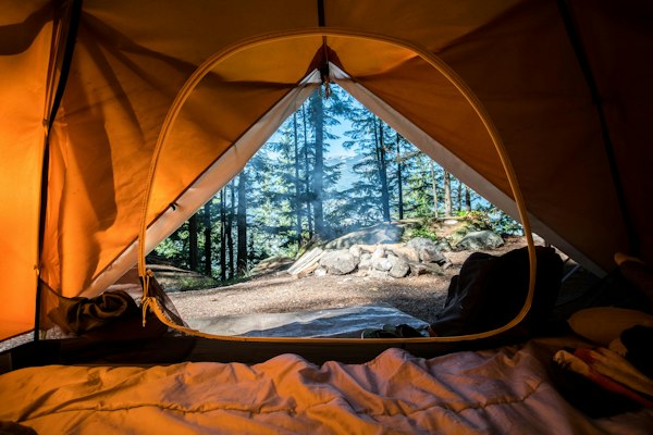
We believe that accurate geographic understanding requires direct observation. While satellite imagery and digital elevation models provide valuable data, there is no substitute for walking the terrain, examining soil profiles, and observing drainage patterns firsthand.
Our field teams carry equipment for precise measurements, but equally important is the accumulated experience that allows us to interpret what we observe in context.
Data Integration
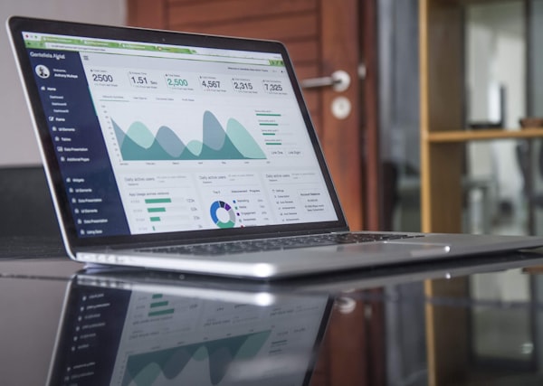
Modern geographic analysis requires synthesising multiple data sources. We combine historical survey records, contemporary satellite observations, climate data, and our own field measurements to build comprehensive pictures of the landscapes we study.
This integration allows us to identify patterns that might be missed when examining any single data source in isolation.
"Witty-fable provided exactly the kind of detailed terrain analysis we needed for our environmental impact assessment. Their field notes were particularly valuable."— Michael Andersen, Coastal Development Group
Our Team
Our staff includes graduates from Australian universities as well as professionals who have worked internationally. This mix of perspectives enriches our analytical capabilities and allows us to approach familiar landscapes with fresh eyes.
Each team member brings specific expertise, whether in coastal geomorphology, arid zone hydrology, or digital cartography. We regularly collaborate on complex projects, combining our individual strengths to address multifaceted geographic questions.
Ongoing Learning
Geographic science continues to evolve, and we remain committed to staying current with new methodologies and technologies. Team members regularly attend conferences, publish papers, and participate in professional development programs.
We also maintain relationships with university geography departments across Australia, sometimes hosting graduate students for field placements or collaborating on research projects.

Work With Us
Interested in collaboration or consultation? We welcome inquiries from researchers, developers, educators, and anyone seeking geographic expertise.
Get in TouchProfessional Standards
All geographic assessments and consultations provided by Witty-fable are conducted according to industry best practices. However, our analyses should be considered alongside other professional opinions and official data sources. Specific outcomes depend on individual project circumstances and site conditions. We recommend consulting relevant authorities and specialists before making significant decisions based on geographic information.