
Geographic Consultation
One-on-one sessions with our senior geographers to discuss your project requirements, interpret existing data, or develop research strategies. Suitable for initial scoping or ongoing advisory relationships.
$285 AUD per hour
Comprehensive geographic analysis and consultation tailored to your specific requirements.
Our services cover the full spectrum of geographic analysis, from initial consultation through to detailed reports and ongoing support. Each engagement is customised to address the specific questions and challenges you face.
Whether you require a one-time assessment or an extended research partnership, we scale our involvement to match your needs and budget.
One-on-one sessions with our senior geographers to discuss your project requirements, interpret existing data, or develop research strategies. Suitable for initial scoping or ongoing advisory relationships.
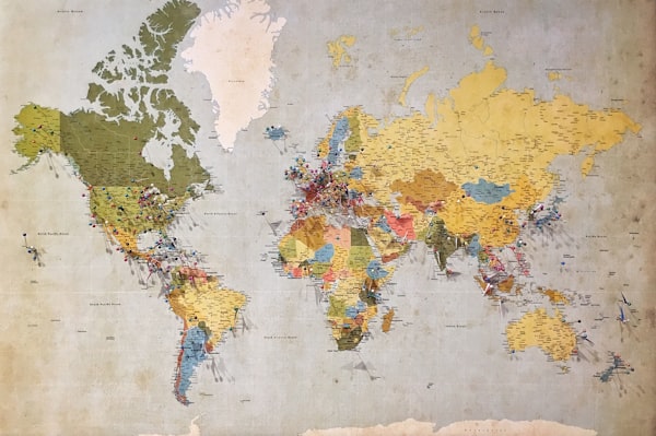
Bespoke maps created to your specifications, incorporating satellite imagery, elevation data, and custom overlays. Digital and print-ready formats available with full source file delivery.

Detailed examination of landforms, slope characteristics, drainage patterns, and soil composition. Reports include risk assessment and recommendations for development or conservation.

Structured learning experiences for schools, universities, and corporate groups. Includes classroom presentations, field excursions, and hands-on practical exercises.

Complete management of geographic field surveys including logistics, data collection, sample handling, and preliminary analysis. Full documentation and chain of custody records provided.

Geographic components for environmental impact assessments and planning applications. Includes baseline studies, impact modelling, and mitigation recommendations.
Every project begins with a conversation. We need to understand what you are trying to achieve before we can recommend an appropriate approach. This initial consultation is provided at no charge for projects within Australia.
Based on our discussion, we prepare a detailed proposal outlining scope, methodology, timeline, and costs. Proposals are valid for 60 days and include a breakdown of all deliverables.

Once approved, we assign a project lead who serves as your primary point of contact throughout the engagement. Regular progress updates keep you informed, and we remain flexible to adjust scope if new information emerges.
Final deliverables are provided in the agreed formats, accompanied by a summary presentation if requested. We offer a 30-day window for questions and clarifications after project completion.
"The educational program Witty-fable developed for our Year 11 geography students exceeded our expectations. The field component really brought the curriculum to life."— Jennifer Walsh, Brisbane State High School
Tell us about your project and receive a no-obligation proposal within five business days.
Request a QuoteWe operate across all Australian states and territories. Some remote locations may incur additional travel costs, which we disclose upfront in our proposals.
Timelines vary considerably depending on scope. A standard terrain analysis takes approximately three to four weeks from engagement to final report. Larger environmental assessment projects may extend over several months.
Yes, we have experience working with local councils, state government departments, and federal agencies. We are familiar with public sector procurement processes and reporting requirements.
Senior team members are available for expert witness work in planning tribunals and court proceedings. This service is quoted separately based on the anticipated time commitment.
Quoted prices are indicative and may vary based on specific project requirements, site accessibility, and timeline constraints. Final pricing is confirmed in written proposals only. Geographic assessments provide professional opinions based on available data and should be considered alongside other expert advice. Outcomes and applicability of our analyses depend on individual circumstances.