
Geographic Consultation
Expert guidance for research projects, development planning, and environmental assessments across all Australian regions.
$285 AUD per hour
From ancient red deserts to pristine coral ecosystems, explore the continent that has captivated geographers and adventurers for centuries.
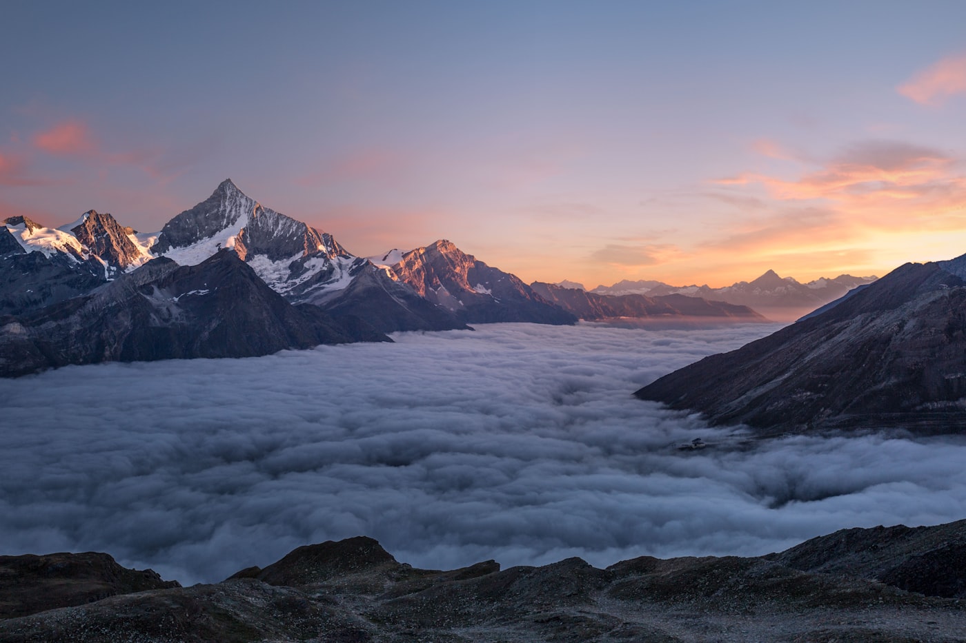
Australia stands as Earth's oldest and flattest inhabited continent, where geological forces have sculpted landscapes over billions of years. The country spans approximately 7.7 million square kilometres, encompassing everything from tropical rainforests in the north to alpine regions in the southeast.
What makes Australian geography particularly fascinating is the isolation that has preserved unique landforms found nowhere else on the planet. The continent drifted away from the ancient supercontinent Gondwana roughly 45 million years ago, and since then, has developed its own distinctive character.
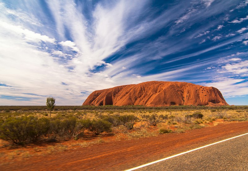
Nearly 90 percent of Australians live within 50 kilometres of the coastline, and for good reason. The coastal regions receive the majority of rainfall and support the nation's most productive agricultural zones. From the dramatic cliffs of the Great Australian Bight to the mangrove-lined shores of the Northern Territory, each coastal region tells a different story.
The eastern seaboard benefits from moisture-laden winds that travel across the Pacific, creating the conditions for the lush rainforests of Queensland and the fertile farmlands of New South Wales. Meanwhile, the western coast experiences a Mediterranean climate in the south, transitioning to arid conditions as you travel northward.
Our team provides comprehensive geographic analysis and consultation for research projects, educational institutions, and private enterprises.
View Our ServicesWhen people think of the Australian interior, they often imagine endless stretches of red sand. While the deserts do cover approximately 18 percent of the continent, the reality is far more nuanced and scientifically interesting.

The Simpson Desert, Gibson Desert, Great Victoria Desert, and Great Sandy Desert each possess distinct characteristics. The Simpson is known for its parallel sand dunes, some stretching over 200 kilometres. These formations resulted from ancient wind patterns that persist to this day, slowly reshaping the landscape grain by grain.
Beneath the arid surface lies the Great Artesian Basin, one of the largest underground freshwater reserves in the world. Covering 1.7 million square kilometres across four states, this geological wonder has sustained pastoral industries and remote communities for over a century.
"Working with Witty-fable transformed our understanding of the terrain we've been studying for decades. Their analysis revealed patterns we had completely overlooked."— Dr. Sarah Thornton, University of Queensland
The Great Dividing Range runs roughly parallel to the eastern and southeastern coastline, spanning over 3,500 kilometres from Queensland to Victoria. Despite its name, this range is relatively modest in height compared to other continental mountain systems, with Mount Kosciuszko reaching just 2,228 metres.
However, what the Australian highlands lack in altitude, they compensate for in ecological significance. The alpine and subalpine regions support unique plant communities adapted to cold temperatures and seasonal snow cover. These areas act as critical water catchments, feeding river systems that sustain agriculture across the Murray-Darling Basin.
We offer specialised consultation and analysis services for organisations seeking deeper understanding of Australian landscapes.
Expert guidance for research projects, development planning, and environmental assessments across all Australian regions.
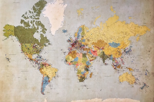
Bespoke map creation combining satellite imagery, elevation data, and field surveys for accurate representation.

Comprehensive assessment of landforms, soil composition, and geological features for construction or conservation purposes.

Structured courses and field excursions designed for schools, universities, and professional development groups.
Australia experiences almost every climate type found on Earth, from tropical monsoonal conditions in the far north to temperate zones in the southeast. This diversity results from the continent's vast latitudinal extent, stretching from 10 degrees to 44 degrees south.
The tropical north receives intense rainfall during the wet season, typically between November and April. Darwin, for instance, averages over 1,700 millimetres of rain annually, with most falling in just a few months. This seasonal pattern has shaped both the landscape and the cultural practices of Indigenous Australians for tens of thousands of years.
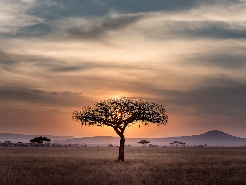
In contrast, Victoria, Tasmania, and parts of South Australia experience distinct seasons more familiar to European settlers. Winter brings cool temperatures and reliable rainfall, while summers remain warm and dry. These conditions support different vegetation communities, including cool temperate rainforests in Tasmania and extensive grasslands across the western plains of Victoria.
Interested in our geographic services? Submit your inquiry and our team will respond within two business days.
Level 4, 127 Creek Street
Brisbane QLD 4000
Australia
The geographic information presented on this website is intended for general educational and informational purposes only. While we endeavour to maintain accuracy, conditions and landscapes may change over time. This content should not be used as a substitute for professional geographic surveys or official government data. Always consult qualified professionals and relevant authorities before making decisions based on geographic information. Individual project results may vary depending on specific site conditions and requirements.